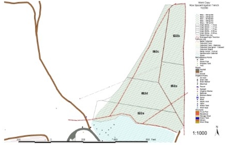
The original high accuracy GIS surface model was used to plan
the size and location of the irrigation blocks and drainage.